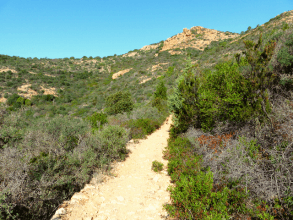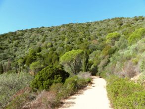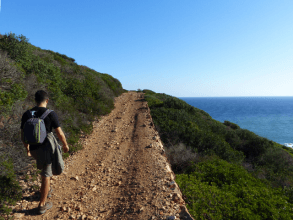
Ancient Roman road along the coast from Pinus Village to Chia
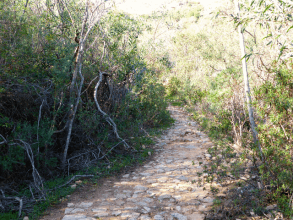
This beautiful panoramic walking route along the south coast of Sardinia is perfect if you want to take an easy walk - also with children - or if you are looking for an easy mountain bike route. The tour takes you along the coast via an old Roman road. The Antica Strada Romana Nora - Bithiae used to connect the Punic-Roman settlements of Nora near Pula and Bithia near Chia. Although the ruins of Nora are still very well preserved, the traces of Bitha have largely sunk into the sea. The remains can only be found in some gardens of holiday villas by the sea and in the Museum of Domus de Maria. The fortress walls of the Roman road, whose foundations may be even older, can still be seen and in one place also the road surface.
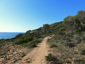
Start of the route in Pinus Village
You can park your car at the Pinus Village holiday park. First the path leads along the main street Via del Borgo to the sea. Here you leave the road towards the small sandy bay. You walk further via the hill consisting of a few granite rocks. There is no real path or indication, but you can hardly miss the route. After a few hundred meters you can see the old fortifications of the old Roman road that winds along the coast in the direction of Chia. The approximately two meters wide "Strada Romana" is partly covered with vegetation. This leaves only one path. After the first wide bend you will find yourself at a beautiful point: where the view extends over the peninsula of the old port city Nora, the pine forest of Santa Margherita di Pula and the mountains of Eden Rock.
Via an old road along the south coast
The entire walk takes you along a clearly recognizable coastal path, with the first part running straight through an area rich in colorful Oleanders. After several bends the path leads over a well-preserved section of an ancient Roman road. Even the old stop can be seen. The so-called Antica Strada Romana Nora - Bithiae in its current form dates from the second half of the 4th century AD and is included in the Roman Itinerarium Antonini, a list of the most important Roman imperial roads in ancient times.
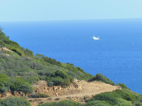
As the trail progresses, the vegetation becomes less and the views over the coast more spectacular. It is incredible that this ancient Roman road - built on a steep slope that disappears into the sea - has been around for 1,500 years. In the sun, the trail continues to the narrow promontory of Su Monti de Mesu. After a sharp turn to the right, the route takes you along the next valley with he 200 meter high peak of Monti Sa Guardia. Radio antennas indicate that this is the highest point. On the other side of the valley you will find a sign towards the "Punto Panoramico, vedetta antiincendio". If you decide to take the steep path to the viewpoint, you should take into account a detour of about an hour.
As the trail progresses, the vegetation becomes less and the views over the coast more spectacular. It is incredible that this ancient Roman road - built on a steep slope that disappears into the sea - has been around for 1,500 years. In the sun, the trail continues to the narrow promontory of Su Monti de Mesu. After a sharp turn to the right, the route takes you along the next valley with he 200 meter high peak of Monti Sa Guardia. Radio antennas indicate that this is the highest point. On the other side of the valley you will find a sign towards the "Punto Panoramico, vedetta antiincendio". If you decide to take the steep path to the viewpoint, you should take into account a detour of about an hour.
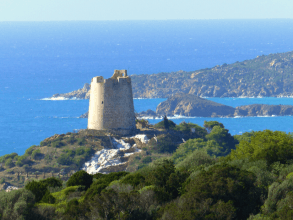
Fantastic view at Chia
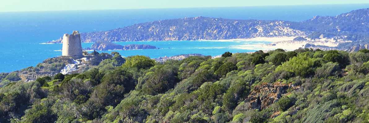
From here the path widens, allowing the forest rangers' Jeeps to ride on the old Roman path. The most difficult part of the walk has been done, but the panorama is more and more spectacular. After a ten-minute walk, you will reach perhaps the most beautiful point of this tour: the viewpoint of the old watchtower Torre Chia and the endless sandy beaches of Sa Colonia and Su Giudeu, as well as the old lighthouse of Capo Spartivento in the background. Magnificent!
The last part of the trail leads steeply down towards the coast. Pass the small rocky island of Isola de Su Cardulinu, also known as Isola Manna. Here the Phoenicians dug the tombs of Tophet in the hard granite rock. Bathing is not officially allowed here.
The last part of the trail leads steeply down towards the coast. Pass the small rocky island of Isola de Su Cardulinu, also known as Isola Manna. Here the Phoenicians dug the tombs of Tophet in the hard granite rock. Bathing is not officially allowed here.
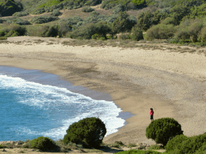
Torre di Chia
The final destination of the tour follows after a few hundred meters: the beautiful sandy bay of Torre Chia with coarse sand, clear water and a kiosk. If you want, you can still go up to the old watchtower, from which you have a great view of the entire Costa del Sud. In the small pine forest there is also a picnic area with benches and tables.
... back via the same route
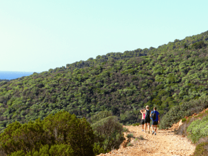
This easy walk on paved but unmarked paths is largely unshaded. You walk back via the same route. Both at the beginning and at the end you will find beach bars and you have the option to take a dip in the sea. The total duration of the walking route is 4 to 5 hours.

Plan your walking holiday in Sardinia with Sardinia4all!
Which accommodation is the best place to stay, where are the most beautiful hiking routes on the island? Ask us - as residents of the island of Sardinia we are happy to show you the way!
Timo
Sardinia4all
Timo
Sardinia4all


